Survey updates

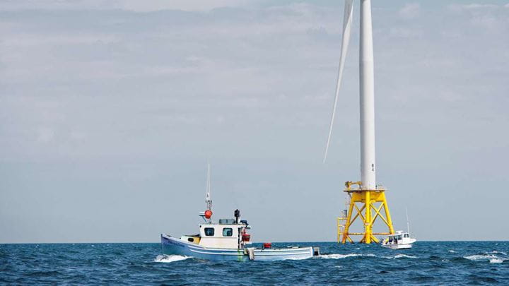
Ørsted will conduct offshore site investigations off Delaware’s coast starting in September in support of Skipjack Wind’s development.

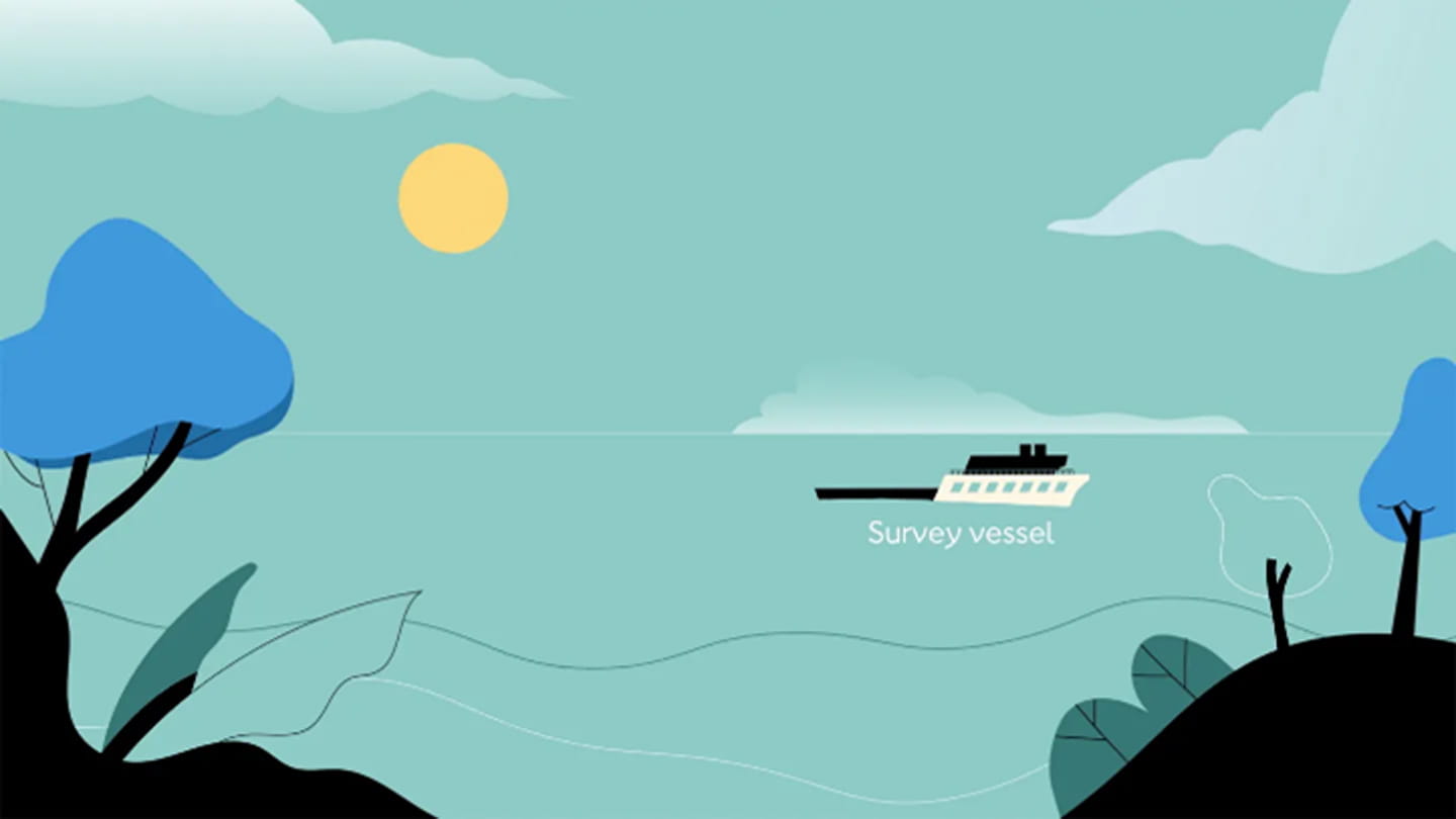
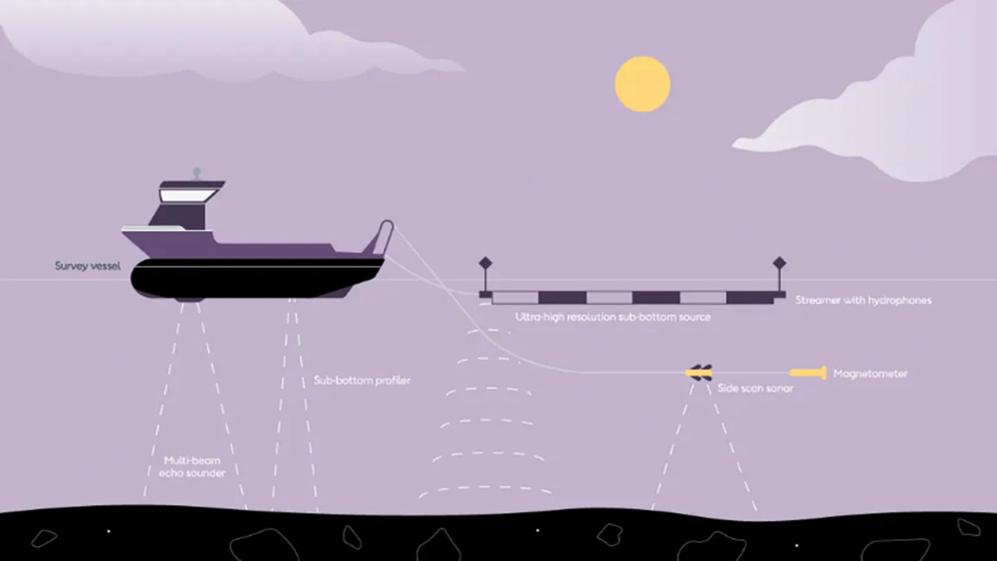
The US-flagged R/V Shackleford will conduct high-resolution geophysical surveys off Delaware’s coast. This type of survey is the same as those used in conjunction with beach replenishments and harbor investigations. The purpose of our survey is to collect data about the seafloor and the geology beneath it, and to identify archaeological resources and debris left by other ocean users. The survey is scheduled from approximately September 9 to October 5 and will occur from nearshore to approximately 6 miles out to sea.

Want to receive updates?
We’ll be making continuous updates to this section of the website. Sign up to receive the latest news and updates from the project.

How Offshore Geophysical Surveys Work


Just as you would survey the land and soil before building a home, offshore wind developers survey the seabed and geology in lease areas and along proposed cable routes, before building an offshore wind farm. Prior to construction, offshore surveys use a variety of small nearshore and larger offshore vessels to acquire information for state and federal permits, applications and to help inform project design. We map the underwater habitat to minimize any impact the project might have on marine life and archaeological resources important to indigenous people.

While conducting offshore survey operations, we take the following protective measures: 

Vessel speeds

To reduce the risk of interaction with marine mammals and protected species, our survey vessels operate under a 10-knot speed restriction during transit and operations.

Observers on board

While conducting survey operations, all Ørsted-contracted survey vessels have trained observers onboard to watch for marine mammals and protected species 24 hours a day. Observers are equipped with visual technology, such as thermal imaging, that enhances detection ability, especially during periods of low visibility.

In compliance with regulations set by the National Marine Fisheries Service (NMFS), these observers actively look for whales, dolphins, other marine mammals, and protected species in the vicinity of the vessel. The observers direct the vessel to conduct an array of mitigation measures, where appropriate, to prevent impacts. This can include a change of course or shutdown of the relevant sound sources.

We track and record all observations of marine mammals and protected species throughout our survey operations.

Offshore geophysical surveys


We conduct high-resolution geophysical (HRG) surveys to map the seafloor and the geology beneath it, and to identify archaeological resources and debris left by other ocean users. 
 
Equipment used includes both acoustic equipment with varying frequencies of sound and passive sensors that do not emit sound. During HRG survey operations, vessels typically move at a low speed, between 2-4 knots (3-5 mph) transiting along straight survey lines.

HRG Survey (devices not to scale - for illustrative purposes only)
Only a few HRG sources used in offshore wind surveys operate at frequencies detectable to marine mammals. Federal agencies have determined that no injury to marine mammals or protected species is expected from these HRG sources as the sound is shown to diminish rapidly with distance (BOEM 2018). 

Sources used in offshore wind that are detectable produce much lower energy and travel far shorter distances from the vessel than those used by the oil and gas industry for exploration miles below the seafloor. 

The terms “seismic testing” and “seismic blasting” refer to powerful sound sources such as air guns used in oil and gas exploration. We don’t use these in HRG offshore wind surveys.
Information for mariners
Working with the maritime community We provide regular updates about our maritime activities to mariners, delivering briefings twice per week.
FAQS
  • How long will these activities last?
    Offshore surveys will last from approximately September 5th to October 5th. 
  • Will public beaches or public parking lots near beaches be closed during the investigation work?
    No.
  • When will the landfall location and cable route be chosen for Skipjack Wind?
    The U.S. Bureau of Ocean Energy Management (BOEM) selects the landfall and cable route for offshore wind farms. Skipjack Wind will provide BOEM with potential landfall and cable route options in its Construction and Operations Plan, known as a COP, which will be submitted to BOEM later this year. 
     
    BOEM will make Skipjack Wind’s COP available to the public and will hold a public scoping period for Skipjack Wind, enabling citizens to have a voice in BOEM’s deliberations. To learn more about BOEM’s permitting and stakeholder engagement process, visit www.boem.gov
     
    In addition, Skipjack Wind’s team will continue its engagement with stakeholders in the region throughout Skipjack Wind’s development.

Sign up here to receive Skipjack Wind Farm news updates

Confirm *
reCAPTCHA *

There was a technical issue. Please try again later or contact us at skipjack@us.orsted.com.

Thank you for signing up.

You are almost done. Please check your inbox to confirm the subscription.

It looks like you are already subscribed. If you believe that you are receiving this message in error, please contact us at skipjack@us.orsted.com.